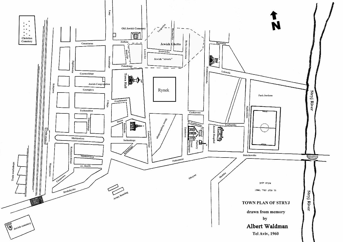
Pre-World War II Map of the Center of Stryy
The map below is a copy of one that appeared in Sefer Stryj (the Stryy yizkor book). I have made some modifications to the map to make it more readable. The modifications include:
- Descriptions of locations that were originally in Hebrew were translated to English.
- Street names have been enlarged.
- The map has been reoriented so that North is towards the top of the map.
- The area within the ghetto boundaries has been shaded
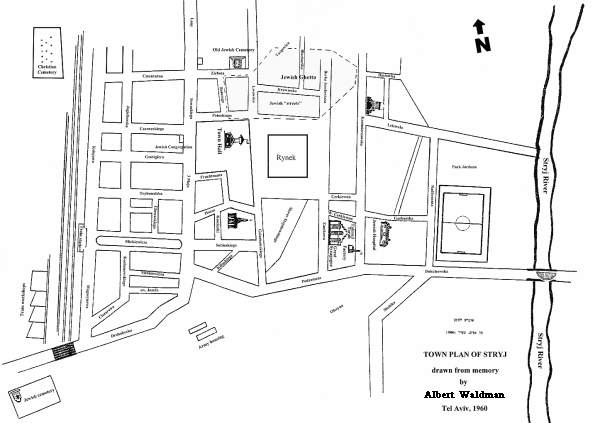
Click on map to see a larger version
Back to Main Stryy Page