
Gargzdai (Gorzd),
Lithuania
Prussian General Staff Map
(1860)
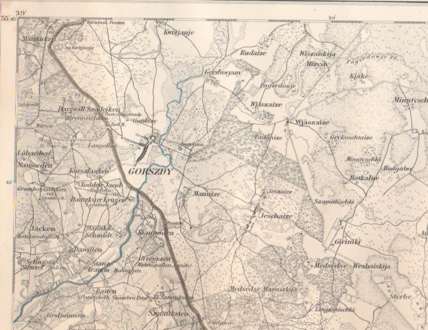
Sheet 3 - Laugallen
1:100,000
Note: Map longitude is based on Ferro
meridian rather than Greenwich.
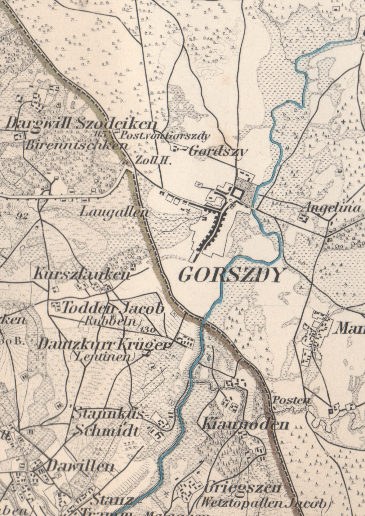
This map was updated in 1910 as part of the map
series, Karte des Deutschen Reiches. There was little change
aside from addition of the rail line to Laugallen and the
railway station there. For the 1910 update (1860-1880;
supp. 1910), and an explanation of the map symbols (which were
also used on the 1860 map), see here.
For an animation comparing the 1860 and 1910
maps, see here.
Copyright © 2006 - 2016 John S. Jaffer