![]()
Geography of Mazheik
(Mazeikiai)
North-Western Lithuania
56.20N 22.20E
Index of the maps on this page (scroll down or click on desired item)
1. Map of North-West Lithuania
including Mazheik
2. Detailed map with greater area surrounding Mazheik
3. Map of Lithuania and the region
4. 1918 and 2003 Maps of Central Mazheik
5. Detailed Map of Contemporary Mazeikiai, showing Pre-Holocaust
Jewish Sites
6. Contemporary Map of Mazeikiai District, including Jewish
sites
=============================================================
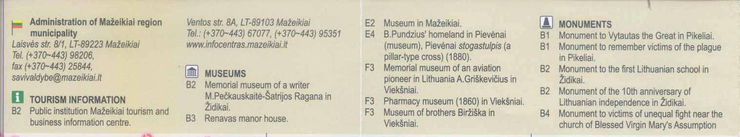
Mazeikiai is located on the Venta River, in the north-western part of Lithuania, approx. 10 Km from the Latvian border.
Mazeikiai is situated at the junction of the Libau (Liepaja) - Romny and Riga-Oriol train lines.

Map of North-Western Lithuania
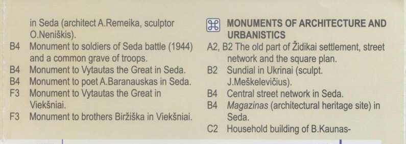
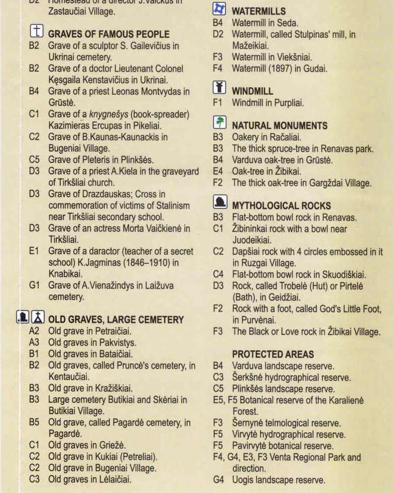
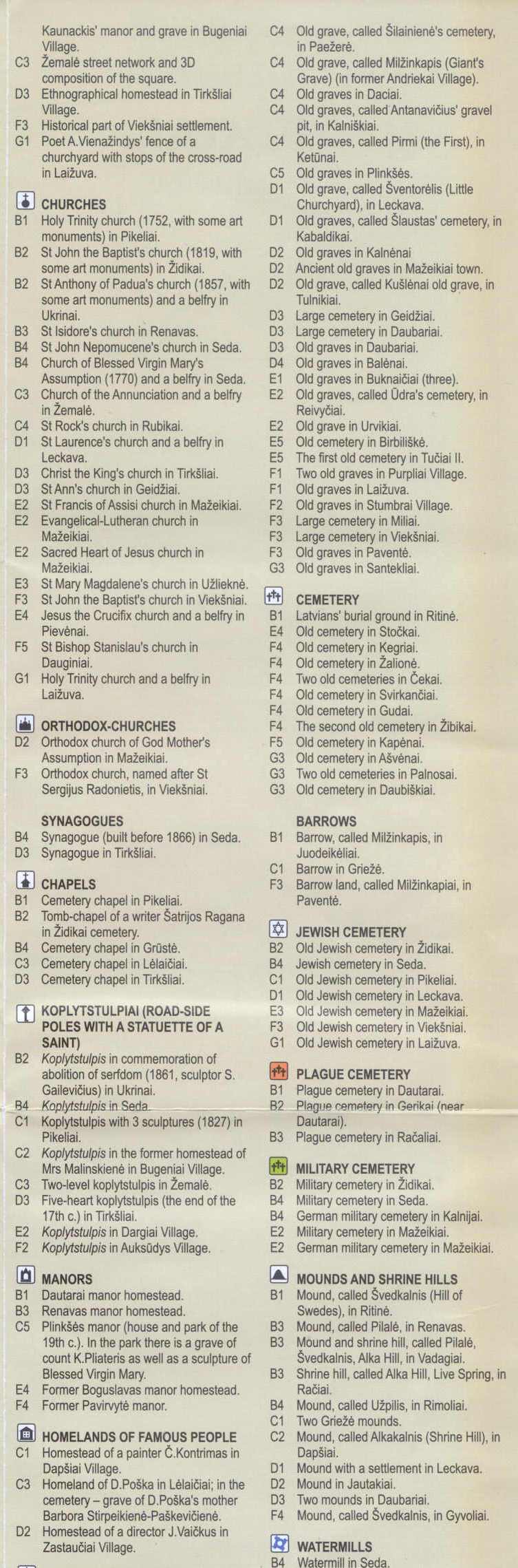
Nearby towns are: Tirkshliai (7 Km), Latzkova (10), Siad (18), Pikaliai, and others. Nearby cities are Telsiai and Siauliai.
The distance to Lithuanias capital, Vilnius, is approx. 300 Km.
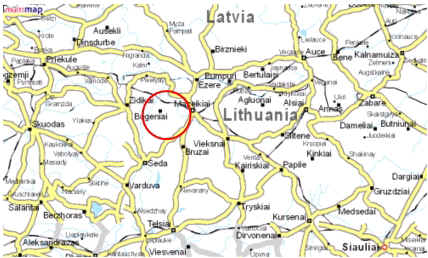
Map of Mazeikiai and surroundings
[Source: multimap.com]
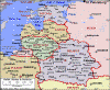
MAP OF LITHUANIA AND THE REGION
[1] CLICK HERE FOR 1918 and 2003 MAPS OF MAZEIKIAI
PRE-HOLOCAUST
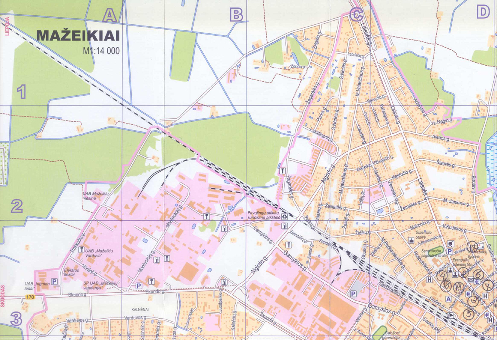
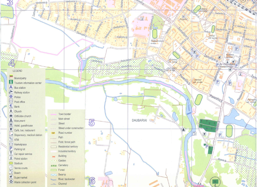
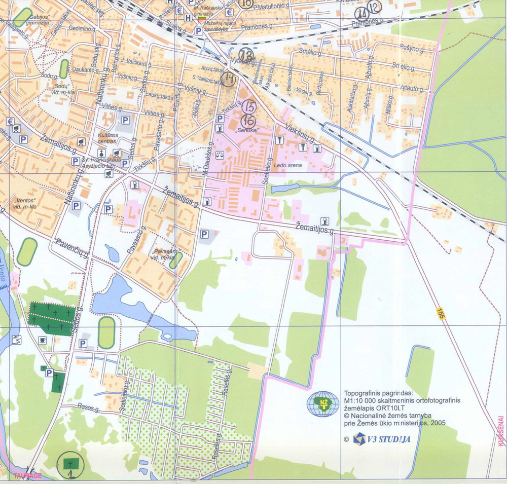
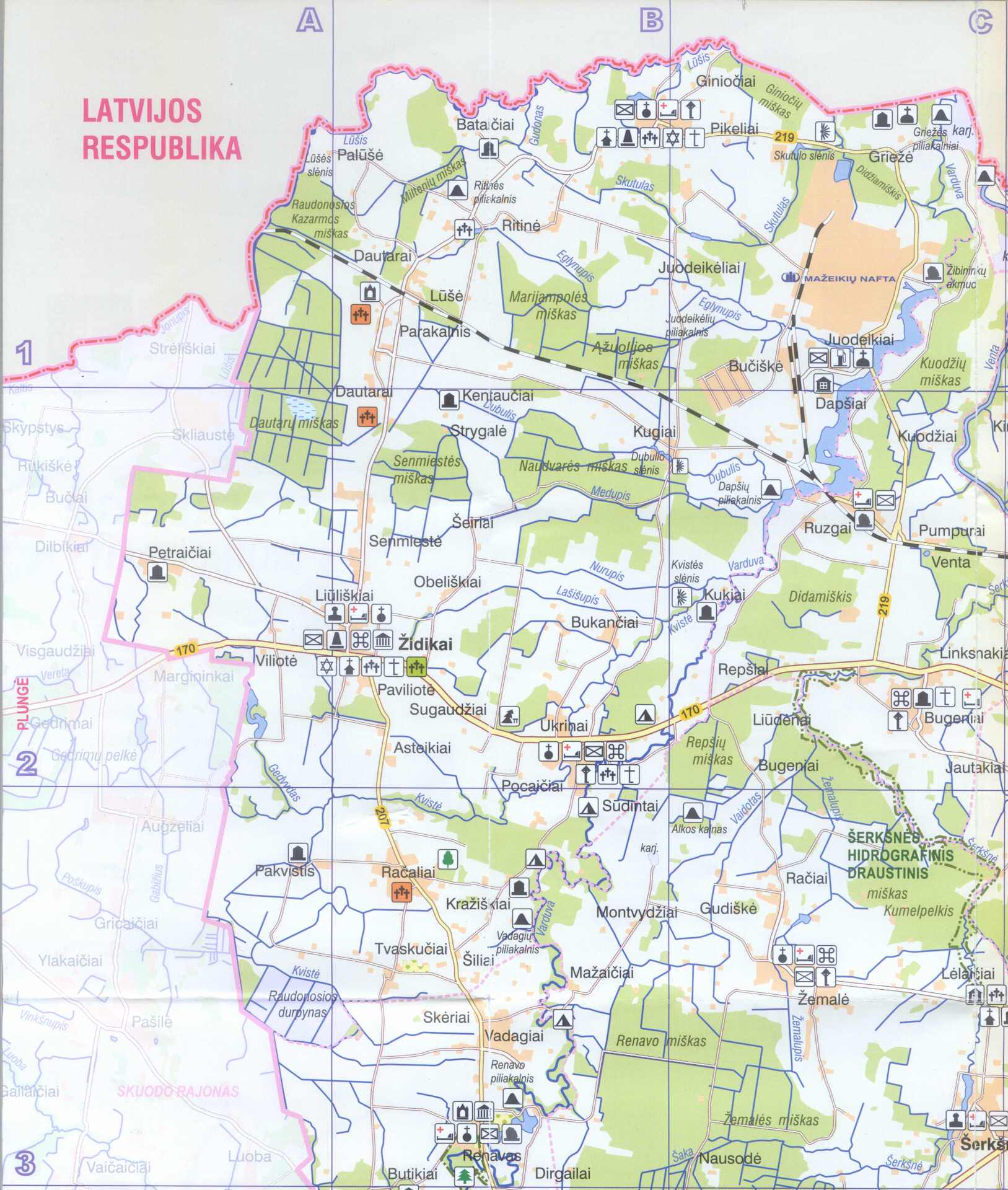
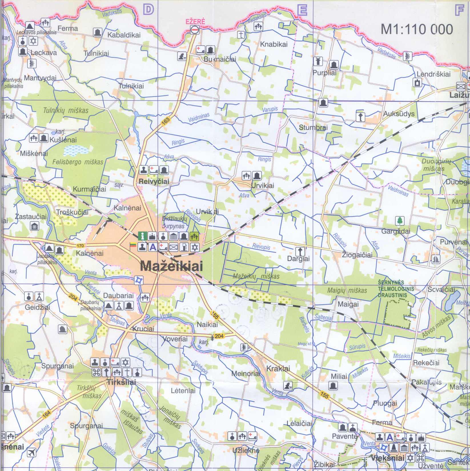
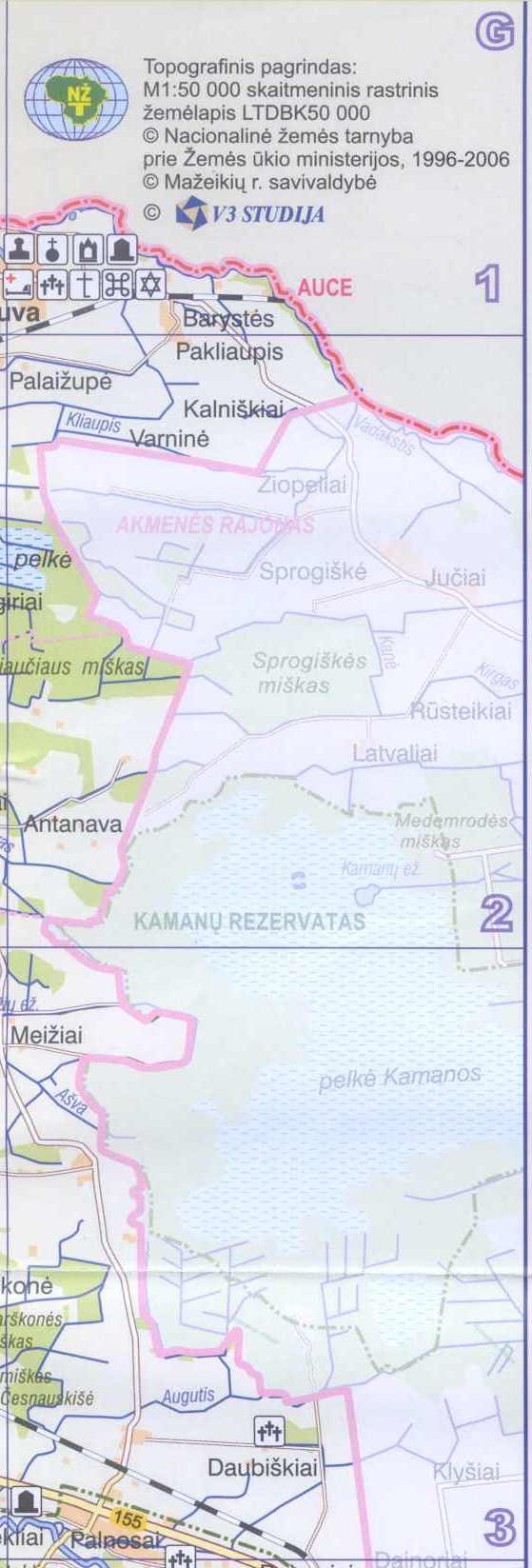
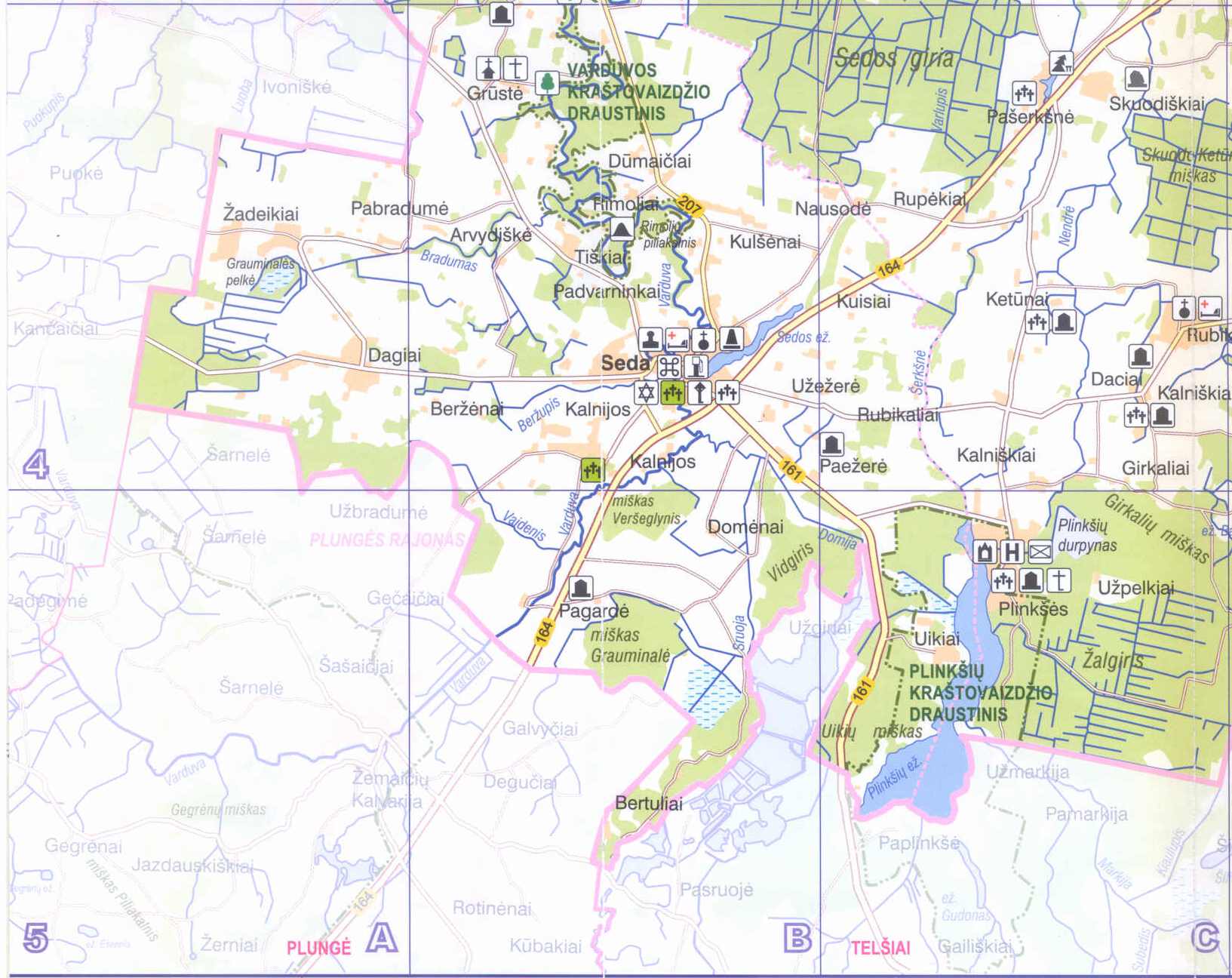
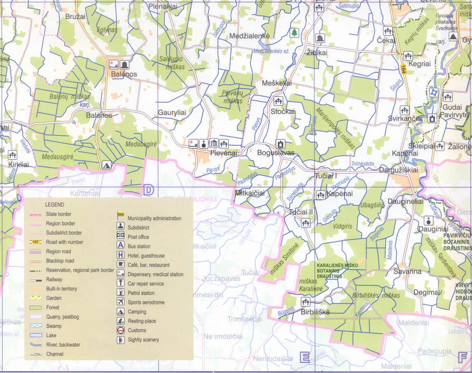
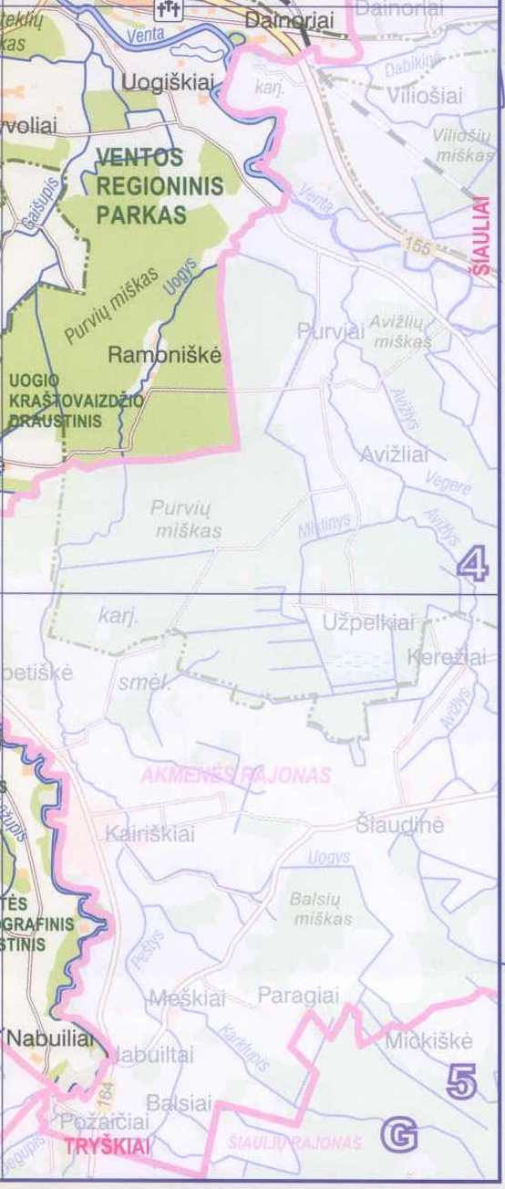
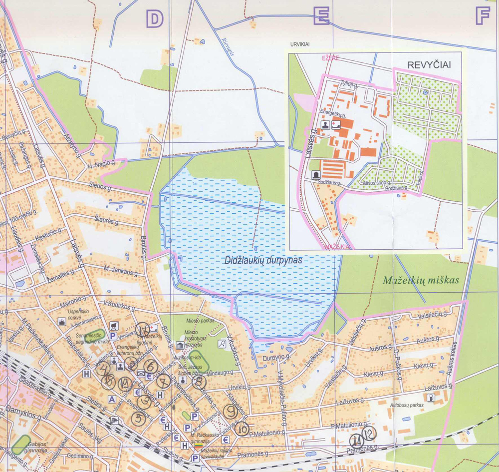
JEWISH SITES ON A DETAILED MAP OF CONTEMPORARY (2007) MAZHEIK
(IN 4 SECTIONS) (below)
Jewish Sites on the Map (CLICK FOR DETAILS)
| Index P-Z | |
|
 |
Click here or on map section (North-West) below for high resolution |
Click here or on map section (North-East) below for high resolution |
|
 |
|
|
[1] References:
[1] Sefer HaKehilot Lita (Book of Lithuanian Jewish Communities), Hebrew, p. 367
This page is hosted at no cost to the public by JewishGen, Inc., a non-profit corporation. If you feel there is a benefit to you in accessing this site, your JewishGen-erosity is appreciated. Kindly link to : https://www.jewishgen.org/JewishGen-erosity/
| Compiled by Raymond Ravinsky Updated: September 2019 Copyright © 2009 Raymond Ravinsky |
Link to : KehilaLinks Directory https://kehilalinks.jewishgen.org/ |
Link to : Jewish
Gen Home Page |