Page Last Updated:
02-May-2015
Villa Mantero - The Jewish Cemetery
Pictures of a vanished village – where only the cemetery survived
Introduction
More than 850 pictures were taken from the small Jewish cemetery of Villa Mantero
near Basavilbaso, in the province of Entre Rios, Argentina during October 2013.
During the days of the large Jewish Colonization, under the JCA Baron Hirsh, the
name of the whole Colony was Lucienville and the name of this small section was
Akerman 3, or simply the local name of Villa Mantero. This settlement was named
after the gentile former owner of the area.
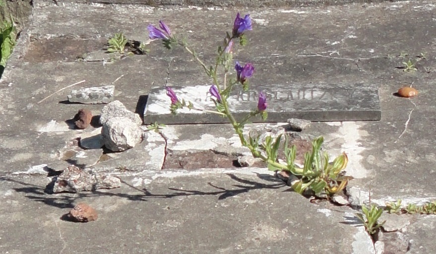
Today not a single house remaine from those days and the individual farms were replaced
by a large estancia under the name : “La tres”. The cemetery is abandoned, vegetation
is growing freely, the paths are covered by earth and thorns and a large number
of the tombs were broken by vandalism or time. Some areas are of difficult access.
It's almost impossible to access the area during rainy season.
Bricks had been used as the primary building material for the tombs as marble slabs
tended to deteriorate quickly in this climate. Many of the tombs are completely
hidden and could be found only by archeology works. There were 11 tombs where the
location and name was know but the matzevah could not be found. There were 24 tombs
where a matzevah was found but the name was unknown. Of these 11 were in the children's
area, 11 in the women's area and 2 in the men's area. There were 141 tombs recorded
but there are more that were completely destroyed.
All the tombs are flat, parallel to the ground but there 2 were with a round top/shape.
These were located in r2/t41 and r2/t99. Burials have a general direction facing
to the west but one tomb was placed in the opposite direction (Roistacher Sara,
r2/t52).
The epitaphs are different in Hebrew and Spanish. It's only possible to learn from
the Hebrew inscriptions not only the Jewish name but also the name or surname of
the Father. Relatives or visitors who wanted to preserve the inscriptions overwrote
them with paint and because they didn’t know the meaning of the Hebrew letters,
destroyed important information. Erosion destroyed a great part of the inscriptions
left on the soft stone.
The children's area at the southeast corner is recognized by the small size of the
tombs. They do not have any inscriptions on them.
In my pictures I positioned a pen in the lower corner, just for scale. Photos were
taken of tombs as is. No cleaning, changing or repairing/repainting was done. I
believe more research is needed on this cemetery.
Plot Maps
The following links contain the Villa Mantero cemetery plot maps. The tombs appear
as they are located in the cemetery itself. There are 2 documents containing plot
maps. The first is labelled with name and location. The second shows a photo of
the tombstone as well as the name. These plot maps are readeable with Adobe Acrobat
reader. You can search for text within them by using CTRL-F to bring up the text
search function and zoom in and out using the magnifying glass icon.
View: Cemetery
Map with names and locations
View: Cemetery Map with names
and photos
Go to Top of Page
Listing
The following link contains an alphabetical listing of the burials in the Villa Mantero cemetery. This listing is readeable with Adobe Acrobat
reader. You can search for text within them by using CTRL-F to bring up the text
search function and zoom in and out using the magnifying glass icon.
View: Cemetery Listing
Go to Top of Page
|